
The Herefordshire Trail
This is a 154-mile circular route taking in the five market towns of Ledbury, Ross-on-Wye, Kington, Leominster, and Bromyard and some delightful villages between. Spectacular views can be had from the hill tops of Marcle Ridge, Garway Hill and Wapley Hill to name a few. It was devised by members of the Hereford Group in 200.

Little Dewchurch
There are various options to navigate the trail:
- The Herefordshire Trail Guide is available from local bookshops or can be ordered from Walking Pages Bookshop: Herefordshire Trail Guidebook.
- The Visit Herefordshire website provides a downloadable Guide to the Herefordshire Trail. This has lots of interesting information about the trail and includes a map but it is not a detailed route description.
- The trail is marked on OS Explorer paper maps and OS electronic mapping such as the OS or Memory Map apps.
- Each section of the trail route can be viewed in the free Visit Herefordshire App, but note that you will need an internet connection while using this app so you will be dependent on a phone signal.
The Mortimer Trail
This runs from Ludlow in Shropshire to Kington in north west Herefordshire. It is 30 miles long and follows a succession of hills and ridges in the northern part of the county. The walk was devised some years ago by Herefordshire Ramblers in conjunction with Herefordshire Council.
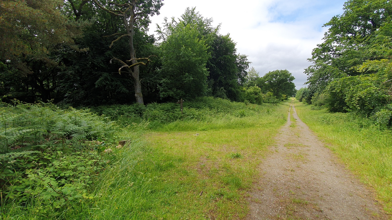
Mortimer Forest
There are various options to navigate the trail:
- The Mortimer Trail Guidebook can be ordered from Walking Pages Bookshop: Mortimer Trail Guidebook.
- The Visit Herefordshire website provides a downloadable Guide to the Mortimer Trail. This has lots of interesting information about the trail and includes a map but it is not a detailed route description.
- The trail is marked on OS Explorer paper maps and OS electronic mapping such as the OS or Memory Map apps.
The Three Choirs Way
A footpath Way between Gloucester, Hereford, and Worcester, with a theme linking the walk and the music festival celebrated at the three Cathedrals for over 300 years. The Way serves to strengthen and promote those links, by providing a glorious walk of 100 miles through the attractive and varied countryside of the three counties, evoked in the adage “blessed is the eye between Severn and Wye”.
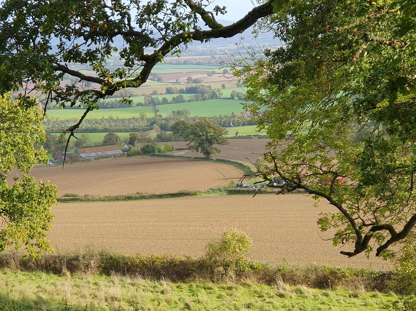
View from Marcle Ridge
There are various options to navigate the trail:
- The Three Choirs Way Guidebook can be ordered from Walking Pages Bookshop: Three Choirs Way.
- The trail is marked on OS Explorer paper maps and OS electronic mapping such as the OS or Memory Map apps.
The Arrow Valley Trail
This Trail is 34 miles long and follows the river Arrow from its source at Gwaunceste Hill in Wales travelling through Kington, Pembridge, one of the Black and White villages to its confluence with the River Lugg at Leominster. This was devised by a member of the Mortimer Group, Greta Pennington.
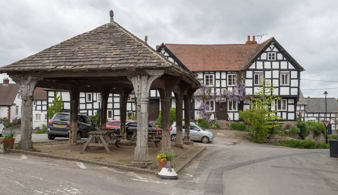
Pembridge
The first three Trails described each have a dedicated team of volunteers, each looking after a section of about six miles of their trail. They do waymarking, cutting back hedges at stiles and gates and keeping the vegetation under control. There is also a Working Party team that does repairs to and replacement of stiles, gates, and ditch crossings, also longer stretches of path clearing.
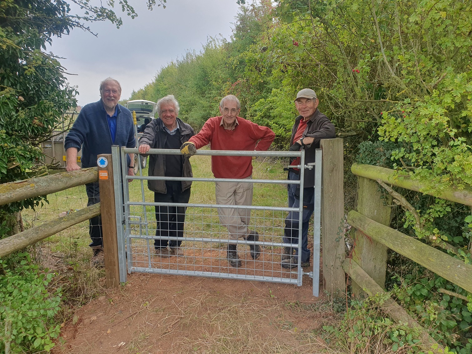
New bridleway gate, Withington